Tile Server comes with advanced mapping clients accessible from any web browser on the same network as the tile server.
/map
/3dmap
2D Map is based on OpenLayers
3D Map is based on Terriajs/Cesiumjs
We make it easy for you to build published maps via our Catalog JSON Data Serving
The 2D Map includes advanced digitizing/drawing/editing capabilities of local GeoJSON and OGC WFS-T Transactional Feature Service Data Creation and Editing (GeoServer, QGIS Server, MapServer or ESRI FeatureServer with WFS Compatibility enabled)
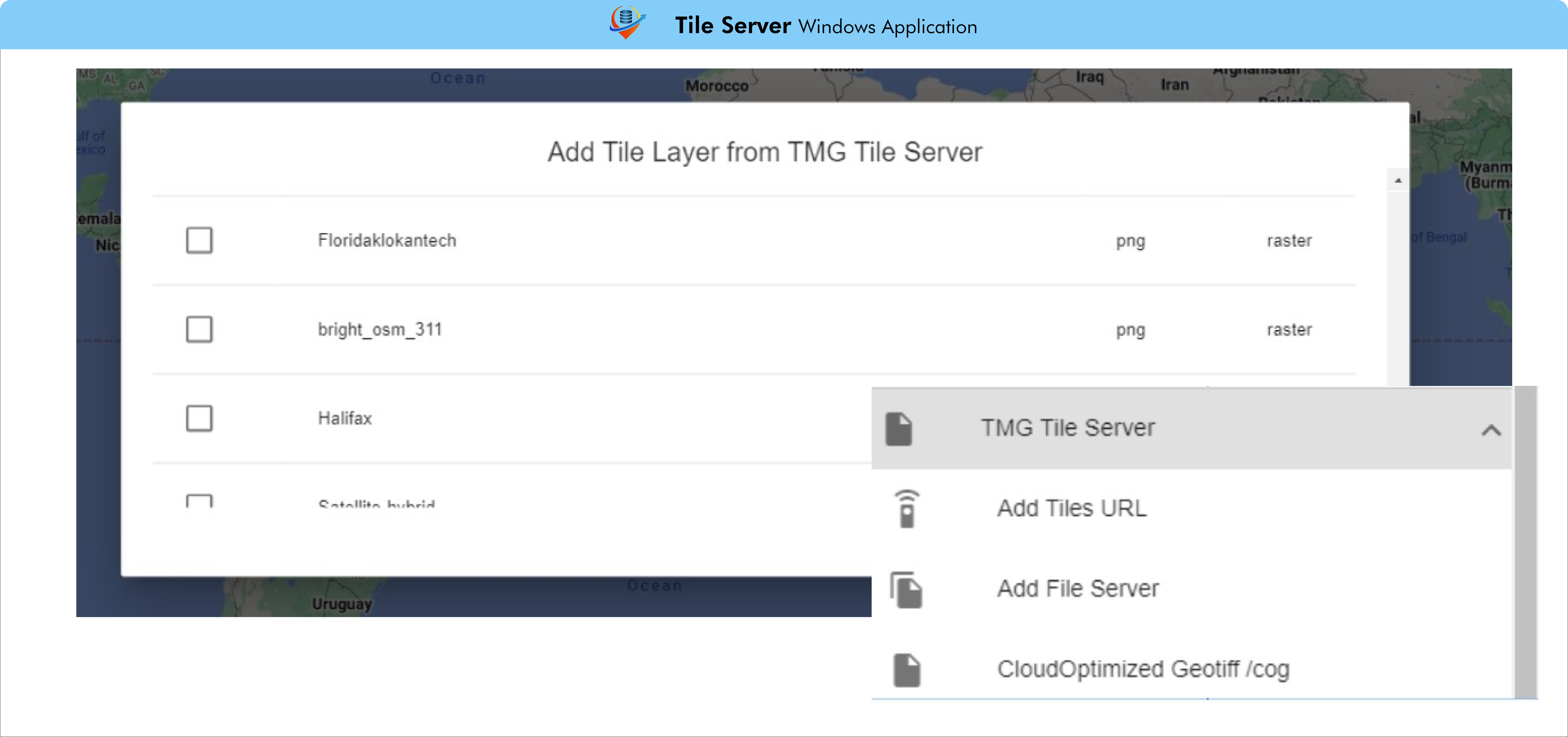
The 2D Map includes quick connections to add
tiles (/services JSON) and files (/file_list JSON)
as well as COG ( /cog JSON)
Advanced 2D Map Viewer/Editor /Map Endpoint
Rapidly add data being served to the map

